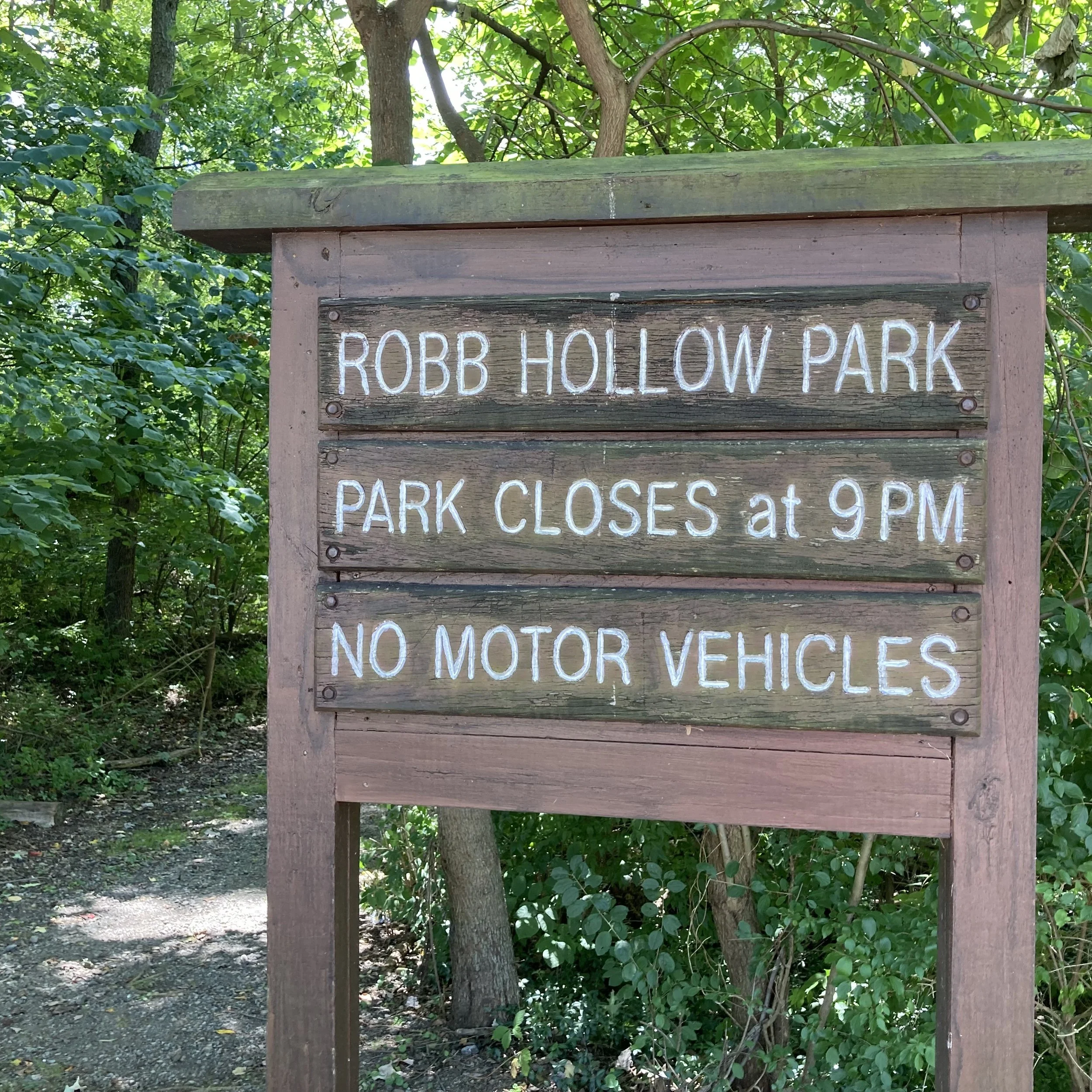
Robb Hollow Park
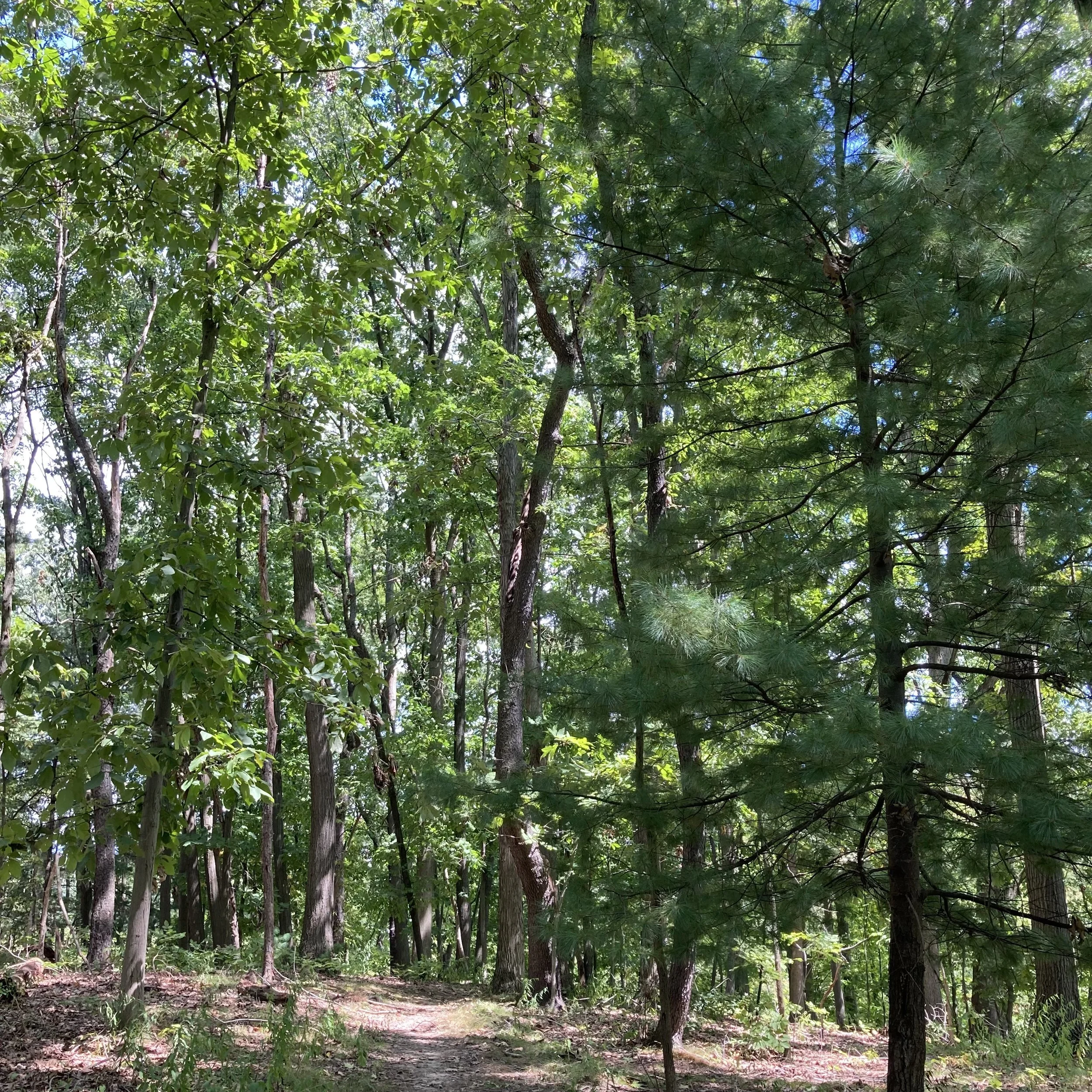
Robb Hollow Park consists of steep, wooded terrain on 28 acres of land that forms a big U-shape bounded by Cedar Boulevard, Painters Run Road and Robb Hollow Road. The contiguous Public Works maintenance yard adds 14 acres of public space.
This park is on the Mt. Lebanon/Upper St. Clair boundary in the southwest corner of Mt. Lebanon, and part of the park lies within Upper St. Clair.
A main trail runs through the park, from Driftwood Drive at the northwest top of the U to the Public Works area at the northeast side of the U.
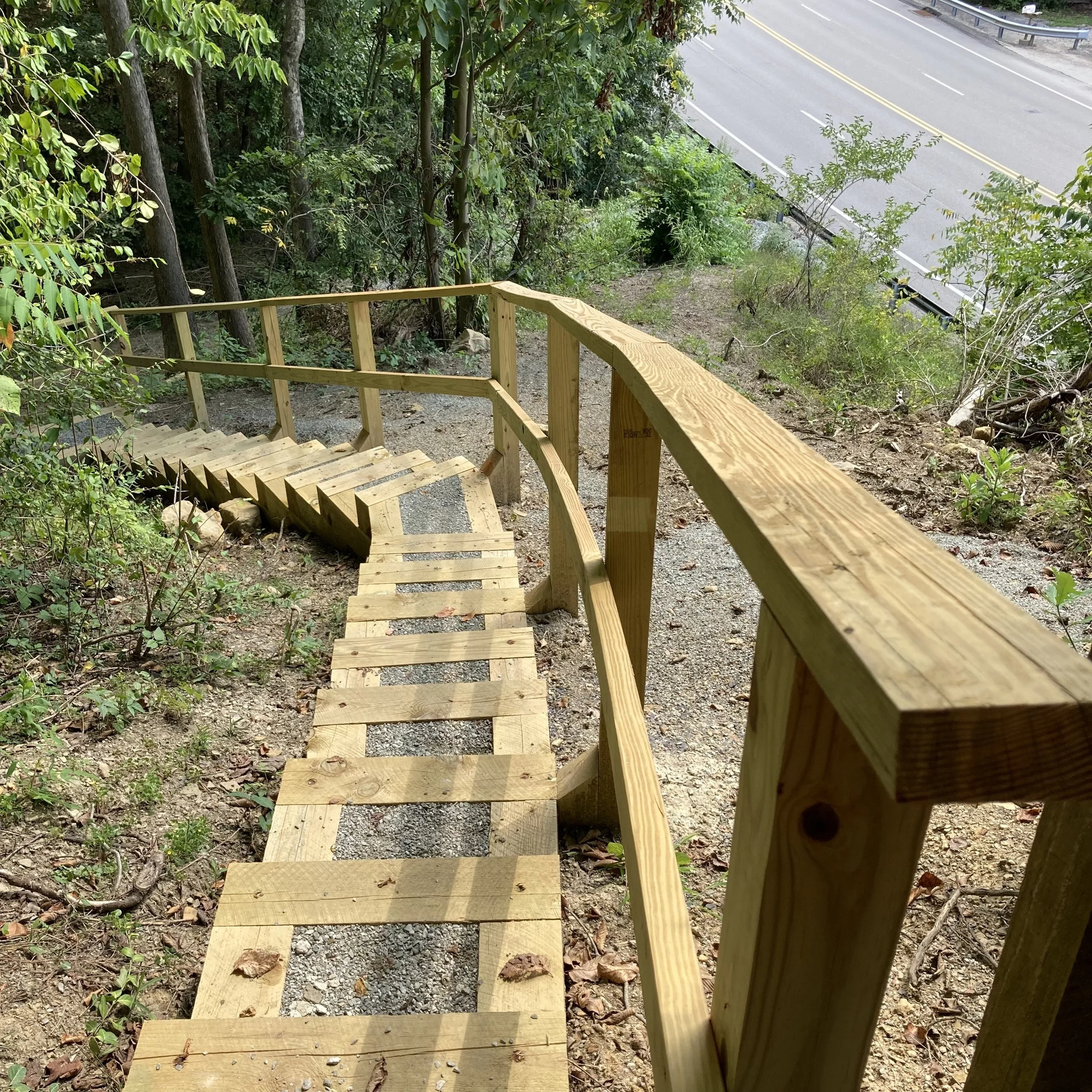
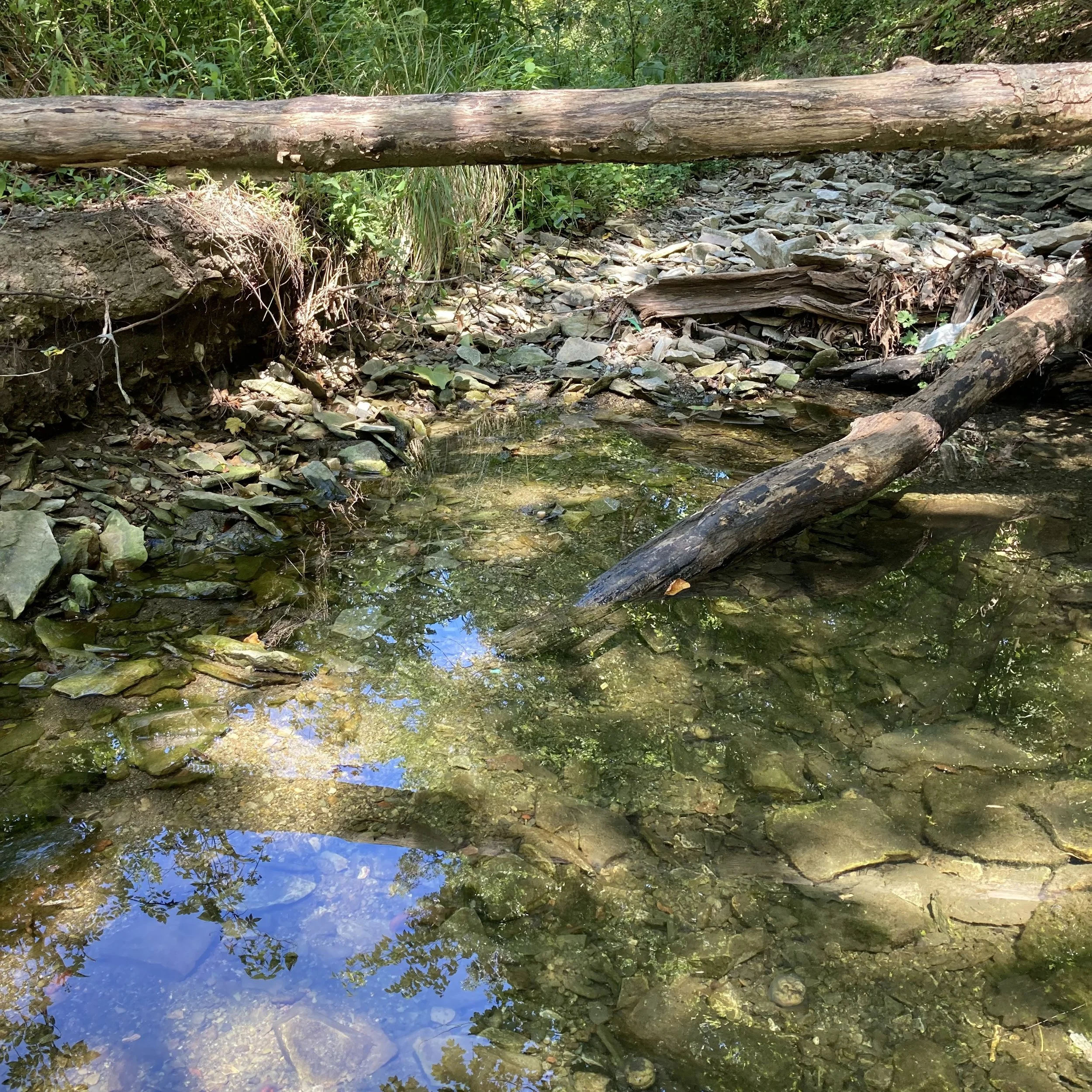
This out-and-back trail includes a staircase and bridge over an intermittent stream that contributes to Painters Run. Parking is available at the Cedar Knob trailhead lot off of Cedar Boulevard (near the police department gun range building) and at the Driftwood Drive cul de sac. Dogs are permitted on-leash. In addition to the main trail, a secondary trail can be found on the western side of the U. This traverses land below and roughly parallel to the main trail. An out-and-back walk that also includes the secondary trail in one direction totals about 1.5 miles.
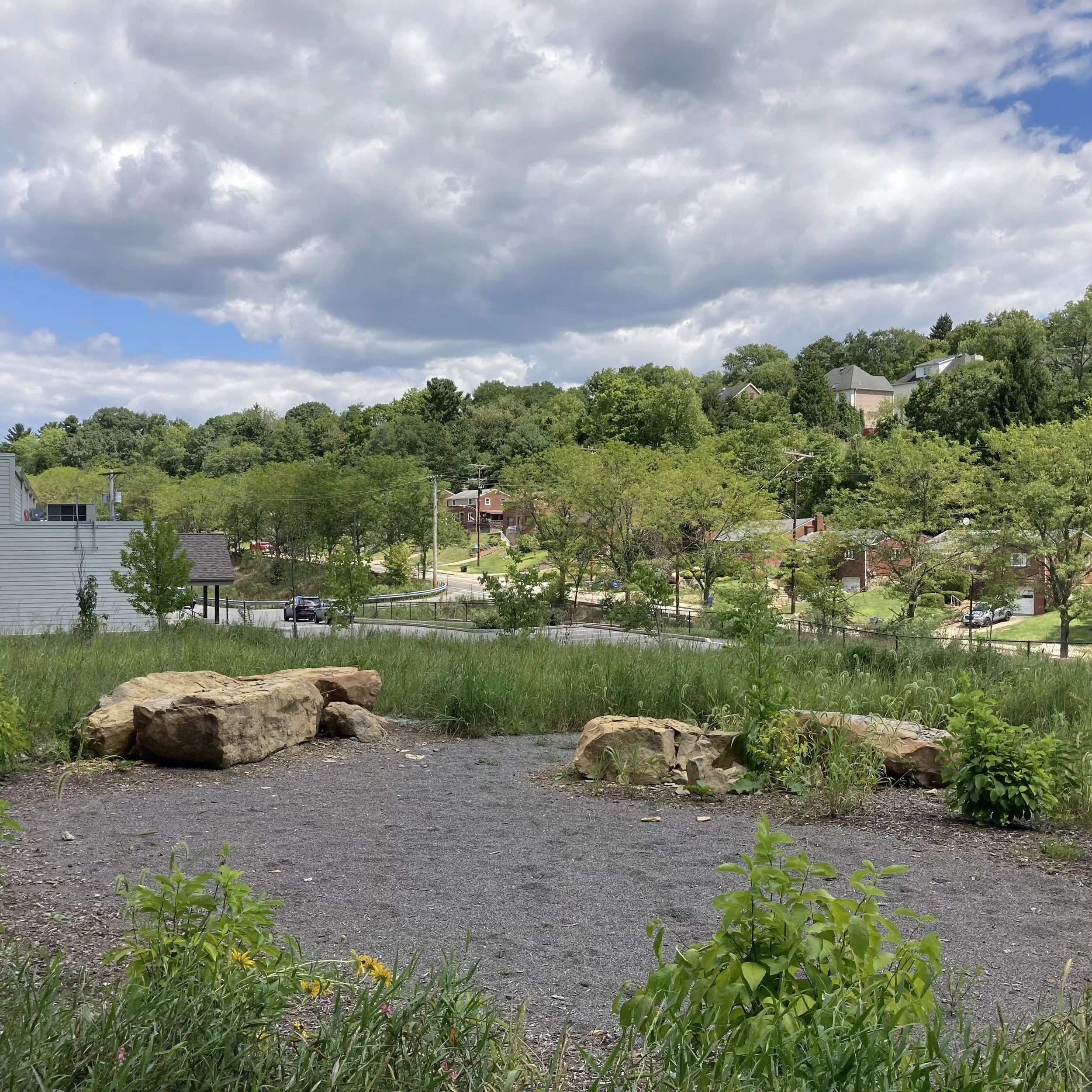
At the bottom of the park’s U shape, above Painter’s Run Road, is a large fire circle. This is near a Public Works lay-down yard where the municipality stores mulch, gravel and other items needed for maintaining public spaces. Municipal vehicles reach this yard from a gated entrance drive off Robb Hollow Road.
Further development at this park may happen at some point. Cedar Knob - the meadow-area trailhead near the gun range building - could be improved to include ADA-compliant features and nature interaction elements for young children. There’s a nice view from the top. Also, a small parking lot could be installed on the western side of the U, with a driveway entrance where Kelso Road turns into Robb Hollow Road just north of Painter’s Run.
